
RETSA Group Logo
HomeWhat We DoServicesPortfolioAbout MarcusContact

Training, workflow design, and practical AI tools. RETSA Group helps organisations reduce manual work and improve capability with solutions your team will actually use.

Suite 17, 89–97 Jones Street
Ultimo NSW 2007, Australia

Quick Links

  • Home
  • What We Do
  • Services
  • Portfolio
  • About Marcus
  • AI eLearning Prototype

Connect

Start a Conversation

© 2026 RETSA Group. All rights reserved.

ABN: 61 147 415 174

Privacy PolicyWebsite Disclaimer
  1. Home
  2. Portfolio
  3. towwise

TowWise | Tow-Aware Route Planning

Closed BetaSafety CriticalGeospatial Data
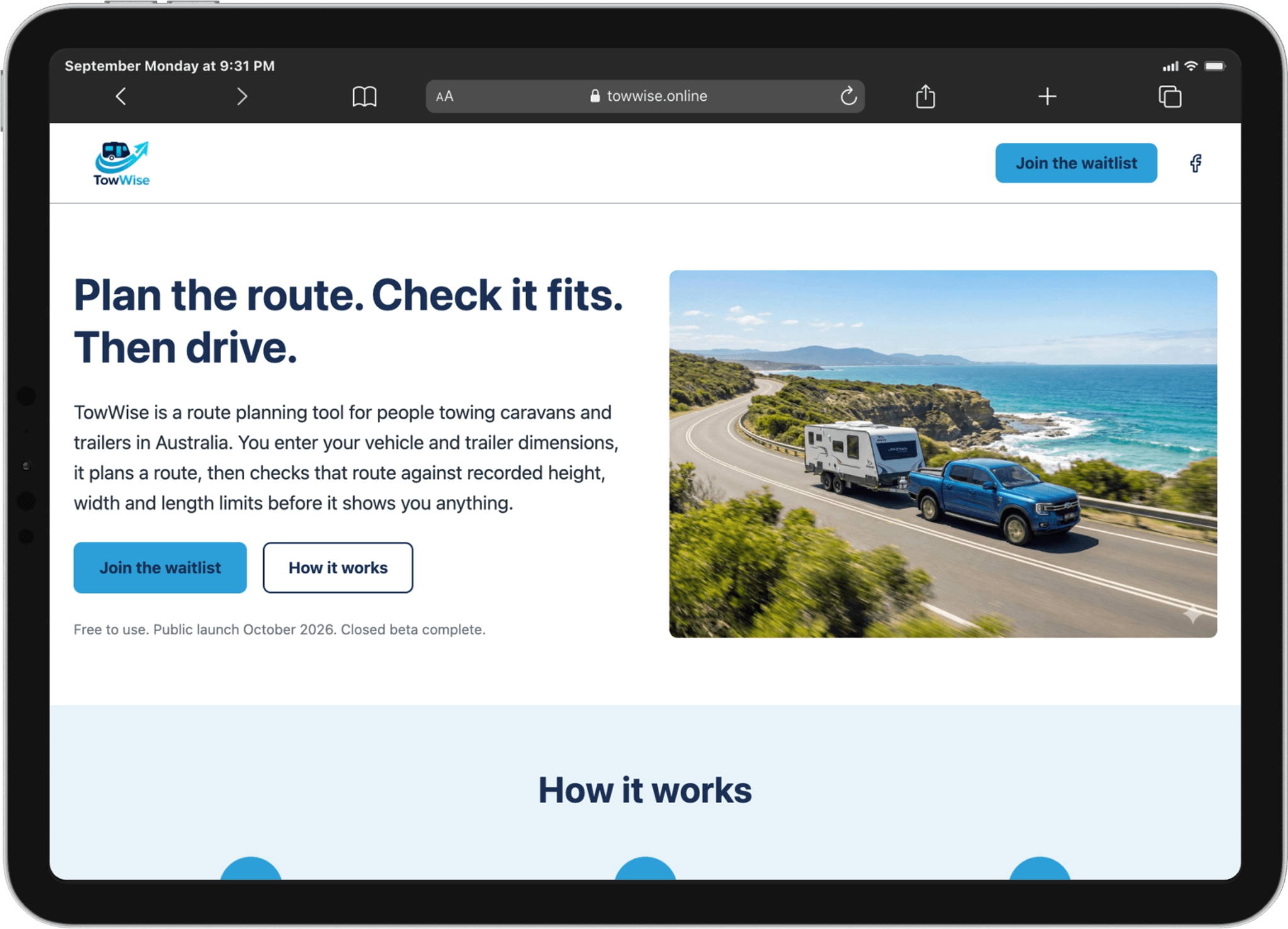
TowWise tow-aware route planning for caravans and trailers
In closed beta

Problem

People towing caravans, camper trailers, boats or horse floats face a simple but high-stakes risk: standard navigation has no concept of the actual height, width, length or axle count of their rig. Commercial truck routing is incomplete on many Australian local and regional roads and can return routes that pass under bridges the rig cannot clear. Hitting a low bridge is expensive, dangerous, and avoidable.

Solution

TowWise is a route-planning tool built specifically for towing. It takes the real dimensions of the vehicle + trailer and only shows a route after every segment has been independently checked against a separately maintained record of height and width limits. If a proposed route cannot be verified against the rig, it is not shown.

How people use it

  • Enter the actual height, width, length and axle count of the rig.
  • Request a route between two points.
  • TowWise returns only routes that survive independent restriction checks.
  • If no safe route exists, it says so clearly, returning no route is treated as a correct outcome, not a failure.
  • Drivers still check signs and current conditions; TowWise is a planning filter, not turn-by-turn navigation.

Status & outcomes

Closed beta. Built and funded by RETSA Group.

During pre-launch testing a commercial routing provider returned a route that took a rig taller than a signed rail bridge. The bridge was recorded on the map and elsewhere, but absent from the provider's restriction data. The launch was stopped that morning and the validation architecture rebuilt so that provider routing is only ever a candidate. Nothing is displayed until it has been verified against the independent restriction dataset. That decision is now core to how TowWise works.

Approach

Focused tool, not an over-engineered platform. Provider routing is treated as a candidate only. Independent, versioned restriction data is the source of truth. Automated regression tests are written directly from real incidents.

What TowWise does not do

  • It is not navigation and gives no turn-by-turn guidance.
  • Coverage is uneven and described that way in the product (height limits are recorded far more often than width limits).
  • No data on roadworks, temporary detours, closures, traffic, weather, vegetation overhang or road conditions.
  • Drivers remain responsible for checking signs and real-world conditions.
Visit TowWise

Tech Stack

  • React with Vite
  • Leaflet with OpenStreetMap tiles
  • Netlify Functions for all server-side calls
  • Node.js pipeline building a spatially indexed OpenStreetMap restriction extract
  • Third-party commercial routing API, wrapped and independently validated
  • Automated regression tests written directly from real incidents